
NDTScan scans the slabs and foundations, gauges the steel of bins, hoppers, conveyors and tanks, locates voids and old workings beneath structures, and records what a person should not climb into, with the plant running where the method allows it.
What NDTScan surveys
- Process plant foundations and slabs. Reinforcement, anchor cages, voids and thickness by GPR before new plant, fixings or trenches go through them; strength by rebound hammer, pulse velocity and cores where a change of load needs it.
- Bins, hoppers, silos and conveyor structures. Remaining wall thickness on abraded and corroded steel by ultrasonic gauging on a repeatable grid, so wear rates can be calculated and liners replaced before the shell.
- Tanks, thickeners and pipework. Shells, floors and lines gauged for thickness; interiors inspected drained or by ROV in service where the medium allows.
- Ground beneath structures. Voids, old workings, backfilled shafts and services indicated by radar where the signal reaches them, so a ground investigation is targeted and a slab is not poured over a hole.
- Legacy buildings and structures. Winding houses, offices and sheds assessed for condition and checked for RAAC; headframes and gantries gauged and recorded by drone.
Working on a live site
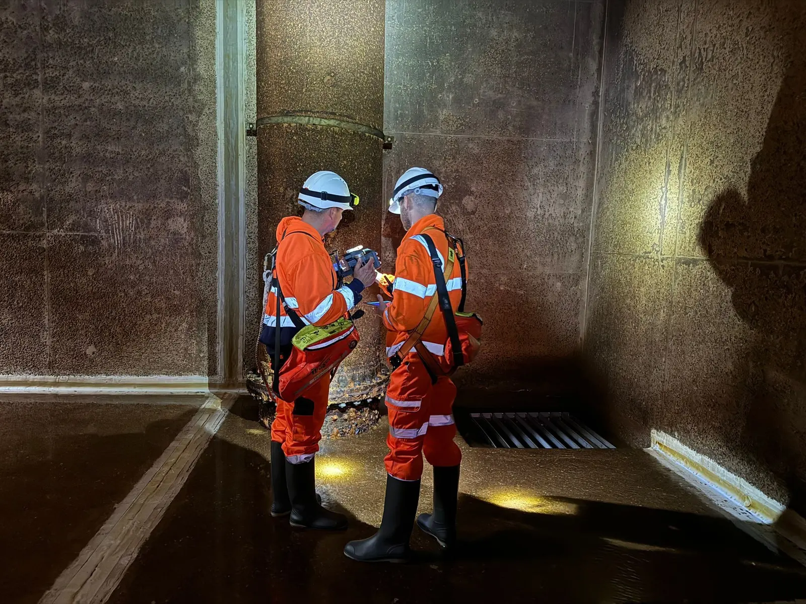
Surveys run under the site's permit, isolation and confined-space rules, planned around production and shutdowns. Radar, ultrasonic and cover instruments are battery powered and read from the outside of the asset, so most of this work is done with the plant running. Confined-space entry and rope access are arranged through partners holding the certifications, with NDTScan's specialist taking or directing the readings, and drones, the caged Elios 3 and ROVs are used where they answer the question without anyone entering the space. Instruments are calibrated by UKAS-accredited laboratories where the work requires it.
What a survey cannot do
Radar reaches a limited depth in wet clay and conductive ground, so it locates shallow voids and workings and says where a deeper investigation is needed rather than replacing one. A thickness gauge reads the steel under the probe; wear between grid points is found only if the grid is tight enough, which is agreed with the engineer for the wear mechanism expected. Each limit is recorded where it applied.
What the engineer receives
Scaled plans of every scanned area with the indicated reinforcement, voids and services; thickness readings tabulated against nominal section with the loss, the minimum and, on repeat surveys, the wear rate; photographs and drone or ROV records referenced to the element; the equipment, calibration and standard applied; and the confidence attached to each finding with what it must not be relied on for. The interpreted report follows within an agreed number of working days.
Who instructs NDTScan
Quarry and mine site engineers and managers, mineral processing operators, the consulting engineers assessing legacy sites and old workings, and the contractors building, maintaining and decommissioning plant. NDTScan attends from Oxford anywhere in the UK, usually within one to two working days and same day where the diary allows.
Do you work in confined or hazardous underground environments?
Confined-space entry is arranged through partners holding the certifications, with NDTScan's specialist directing the readings; drones and ROVs are used where they answer the question without an entry.
Can you detect voids, subsidence or ground instability in quarries or spoil heaps?
Radar indicates shallow voids, workings and the formation where the signal reaches them, and LiDAR and drone surveys record movement of faces and heaps between visits. Deeper ground conditions need a ground investigation, which the survey helps to place.
Is NDT suitable for legacy mine sites or abandoned workings?
Yes, for the structures and the ground beneath them, within the depth radar reaches. Shafts and workings are located and recorded so they can be investigated and treated before anything is built over them.
Can you inspect thick-walled process vessels or hoppers?
Remaining wall thickness is measured through sound coatings with calibrated ultrasonic gauges on a grid, and mapped so the wear pattern is drawn rather than guessed.
Questions we are asked
Can you inspect ageing mine infrastructure without disrupting operations?
Mostly, yes. Radar, ultrasonic and cover readings are taken from the outside with the plant running, under the site's permit rules; interiors are done in planned shutdowns or by ROV.