

NDTScan gives the asset engineer the evidence the drawings cannot: what the reinforcement is and where, how thick the lining is, where the voids are, what the steel has left, and how it is changing between examinations.
What NDTScan surveys
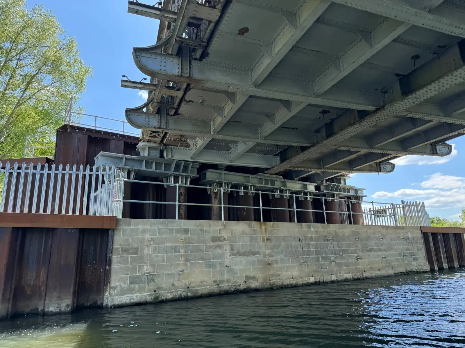
- Bridges and viaducts. Deck reinforcement, post-tensioning and voids by GPR; cover, carbonation and half-cell for corrosion risk; parapets and piers scanned and gauged; soffits and bearings recorded by drone or from the water; piers and scour below water by ROV and sonar.
- Tunnels and culverts. Lining thickness, voids behind the lining and reinforcement by radar; geometry by LiDAR; flooded inverts by ROV.
- Retaining walls, abutments and sea defences. Reinforcement, cover and voids behind the face; thickness on sheet-piled walls; condition recorded for the examination report.
- Dams, reservoirs and water structures. Concrete condition and reinforcement by radar and ultrasonics; walls and intakes in service by ROV; see utilities and energy.
- Highways and pavements. Slab thickness, dowels, voids and services beneath carriageways and runways, by cart and by vehicle-mounted radar for long runs.
- Public buildings. Frames, floors and roofs assessed for condition and strength, and checked for RAAC where the age fits.
Methods
- Concrete scanning: GPR, Ferroscan, pulse velocity and pulse echo, cover, carbonation and half-cell, and compressive strength to BS EN 13791.
- Ultrasonic thickness testing and corrosion mapping of bridge, gantry and sheet-pile steel.
- Drone survey and LiDAR for geometry and condition records, in the formats BIM and CAD teams use.
- Inspection-class ROV and sonar below water; underwater surveying and inspection.
- Early-stage ground investigation support: radar to locate services, voids and obstructions so trial pits and boreholes go where they should; see NDT instead of trial pits or coring.
Working on live infrastructure
Surveys are planned around traffic management, possessions, lane and footway closures and water levels, with the asset owner's access and safety regime governing the visit. The instruments are battery powered and read from the surface, so most structures stay in service while they are surveyed. Instruments are calibrated by UKAS-accredited laboratories where the work requires it, and the work follows the relevant ISO and BS EN standards with the standard stated in the report.
What the engineer receives
Scaled plans of every scanned area with the indicated reinforcement, tendons, voids and services; thickness and cover tables with the tolerance that applied; corrosion-risk maps; ROV, sonar and drone records referenced to the element; the equipment, calibration and standard applied; and the confidence attached to each finding with what it must not be relied on for, written to fit the examination report the engineer has to produce. Data is supplied for BIM and CAD where wanted. The interpreted report follows within an agreed number of working days.
Who instructs NDTScan
Local authority and national highway and bridge engineers, examining engineers, consulting engineers and the contractors renewing, strengthening and maintaining civil infrastructure. NDTScan attends from Oxford anywhere in the UK, usually within one to two working days and same day where the diary allows.
Do you support early-stage ground investigations?
Yes. Radar locates services, voids and buried obstructions so trial pits and boreholes are placed where they should be, and sometimes replaces a pit altogether.
Can your data be integrated into our BIM or CAD models?
Yes. Findings are supplied as CAD overlays on your drawings, and LiDAR or photogrammetry point clouds for BIM where they were part of the scope.
What is the benefit of using NDT instead of trial pits or coring?
Coverage and speed without damage: a scan covers an area in hours and shows where the one core that is still needed should go. Where the engineer needs a tested number, the core is still taken, in the right place.
Do you work on high-risk and restricted access projects?
Yes, under the asset owner's regime, with drones, ROVs and LiDAR used where a person should not go and rope access or confined-space entry arranged through certified partners where a hand on the structure is needed.
Questions we are asked
Can you scan reinforced concrete to locate rebar and services?
Yes. Radar indicates reinforcement, tendons, conduits and services with their depth, verified with the Ferroscan where cover matters, and the report states the tolerance and what could not be resolved.