
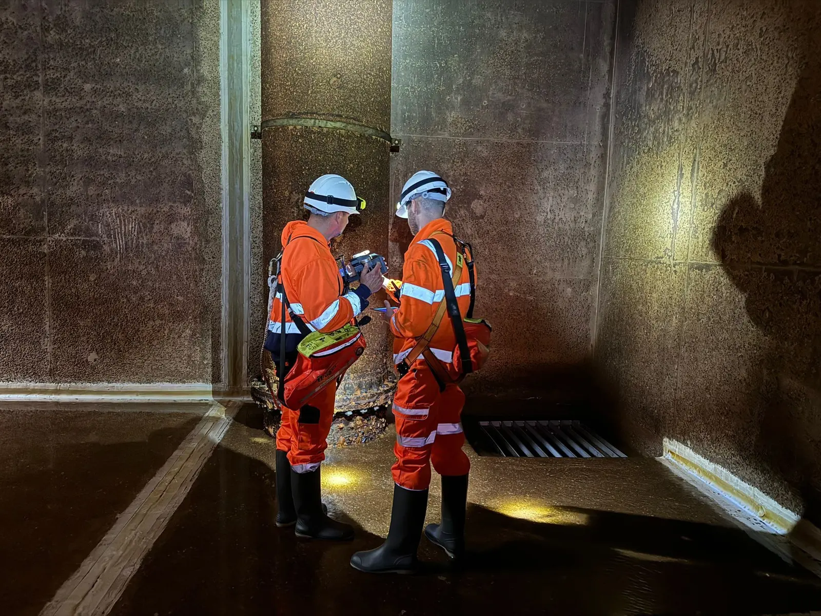
NDTScan scans the structures, gauges the steel, locates what is buried beneath the slabs, and inspects the parts under water, with the site live, and reports to the asset engineer in a form that supports the next decision.
What NDTScan surveys
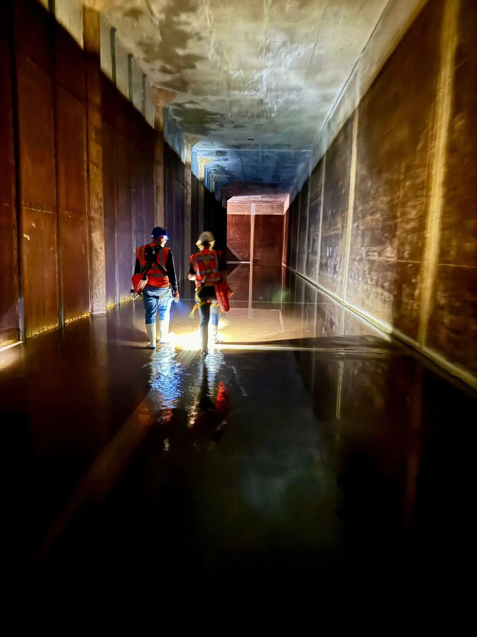
- Treatment works and reservoirs. Tank walls, floors and roofs, channels and weirs scanned by GPR for reinforcement, cover and voids, assessed for carbonation and corrosion risk, and inspected in service by ROV without draining.
- Substations, switch rooms and pump houses. Floor slabs and plinths scanned before new plant, cable routes and fixings go through them; cable ducts and services located beneath.
- Turbine and plant foundations. Reinforcement, anchor cages and voids indicated by radar, and strength assessed by rebound hammer, pulse velocity and cores where a change of load needs a tested number.
- Tanks, pipework and steel structures. Remaining wall thickness on tank shells, pipework, gantries and gas-holder steel measured and mapped. See thickness testing and corrosion mapping.
- Culverts, intakes and outfalls. Lining condition, blockage and scour recorded by ROV and sonar where a person cannot go.
- Roofs, stacks and towers. Condition recorded by drone with thermal imaging where a flight is permitted.
- Buildings on the estate. Offices, stores and control buildings of the late 1950s to mid 1990s checked for RAAC.
Working on a live site
Radar, ultrasonic and cover instruments are battery powered, emit nothing that concerns a substation or a treatment works, and take their readings from the outside of the asset, so nearly all of this work is done with the plant running. Surveys run under the site's permit, isolation and hygiene rules. Confined-space entry and rope access are arranged through partners holding the certifications, and weld inspection by phased array, magnetic particle or radiography through specialist partners where a project specifies it, all coordinated by NDTScan. Instruments are calibrated by UKAS-accredited laboratories where the work requires it, and the work follows the relevant ISO and BS EN standards with the standard stated in the report.
What the engineer receives
Scaled plans of every scanned area with the indicated reinforcement, services and voids; thickness readings tabulated against nominal section with the loss and the minimum flagged; cover, carbonation and half-cell maps where taken; ROV and sonar records referenced to the element; the equipment, calibration and standard applied; and the confidence attached to each finding with what it must not be relied on for. Anything that affects safety is raised on the day; the interpreted report follows within an agreed number of working days.
Who instructs NDTScan
Water company asset and reservoir engineers, network operators and their substation estate teams, renewable owners and operators, and the contractors maintaining, upgrading or decommissioning the assets. NDTScan attends from Oxford anywhere in the UK, usually within one to two working days and same day where the diary allows.
Is the work possible on a live site?
Nearly always. Radar, ultrasonic and cover instruments are battery powered, emit nothing that concerns a substation or a treatment works, and take their readings from the outside of the asset. Work runs under the site's permit and isolation rules.
Can you assess corrosion in tanks and pipework?
Remaining wall thickness is measured with calibrated ultrasonic gauges on a grid through sound coatings, and mapped so the extent of thinning is drawn rather than guessed. Tank floors and interiors are inspected drained, or by ROV in service where the asset allows it.
Do you carry out confined-space entry?
Confined-space entry is arranged through partners holding the certifications, with NDTScan's specialist taking or directing the readings. Where a drone or ROV answers the question without anyone entering the space, that is used instead.
Questions we are asked
Can buried services be located without excavation?
Ground penetrating radar indicates pipes, ducts and cables beneath slabs and ground where the signal reaches them, along with voids and the formation. It locates; it does not identify what is in the pipe, and wet clay limits the depth. Findings are marked on the surface where required and drawn on the plan, so a trial hole goes in the right place.