
NDTScan maps what is beneath and within the built environment without opening it up, and delivers the data in the formats planning, BIM and asset platforms use.
What NDTScan surveys for urban projects
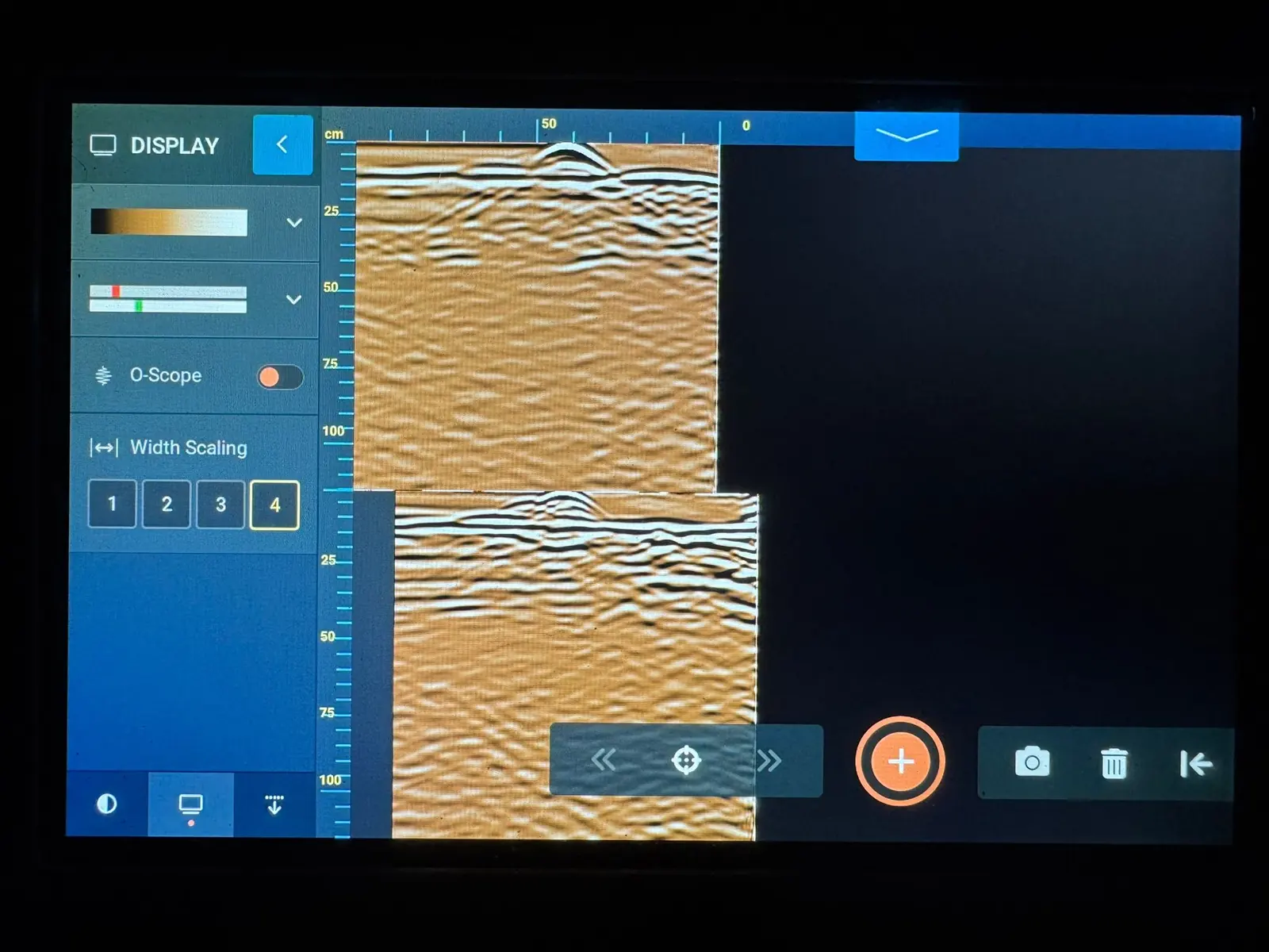
- Beneath streets and sites. Utilities, ducts, voids, cellars, old foundations and buried structures indicated by ground penetrating radar where the signal reaches them, by cart and by vehicle-mounted radar for long runs, so trial pits and new services go where they should. See pipeline and utility location.
- Structures being retrofitted. Reinforcement, tendons, slab thickness and strength in the frames, decks and car parks being converted, extended or given new plant; cover, carbonation and corrosion risk in post-war concrete. See concrete and structural integrity and scanning before drilling.
- Public buildings and housing. Checked for RAAC where the age fits, before refurbishment or re-roofing.
- Bridges, subways and retaining walls. Scanned, gauged and recorded for the examination regime; see civil engineering and infrastructure.
- Digital records. LiDAR and drone photogrammetry of streets, estates and structures as measurable point clouds for planning and digital twins, with survey findings placed on the geometry.
Data that fits the platform
Findings are delivered as CAD overlays on the project drawings, GIS layers for utility and void maps, point clouds and meshes for BIM, and tables for asset registers, with the survey grid, method and tolerance recorded so the data can be trusted and repeated. Where a project already runs a digital twin or an asset platform, NDTScan supplies the data in the format it ingests. See interpretation and reporting.
What a subsurface survey cannot do
Radar locates; it does not identify what is inside a pipe or who owns it, and in wet clay its reach is short. A void map shows where the ground returned a signal, not what caused it. Findings are reported with the confidence of each and the depth the survey reached, so the planner knows where a trial hole is still needed.
Working in the public realm
Surveys run under the highway authority's permit and traffic management, planned around footfall, markets and events, with battery-powered instruments that emit nothing of concern and leave no mark unless marking out is required and agreed. Instruments are calibrated by UKAS-accredited laboratories where the work requires it. The interpreted report follows within an agreed number of working days.
Who instructs NDTScan
Local authorities and their planning, highways and regeneration teams, developers and their design teams, utility providers, BIM and digital-twin consultancies, and the contractors delivering urban infrastructure. NDTScan attends from Oxford anywhere in the UK, usually within one to two working days and same day where the diary allows.
Do you offer scanning for retrofitting and modernisation projects?
Yes. Frames, decks and car parks being converted or extended are scanned for reinforcement, tendons and services, and assessed for strength and condition, before the design is fixed.
Can your surveys integrate with BIM and smart asset platforms?
Yes. Point clouds, CAD overlays, GIS layers and tables are delivered in the formats the platform ingests, with the method and tolerance recorded.
Do you help identify hidden hazards in public areas before redevelopment?
Yes. Voids, cellars, old tanks and services beneath streets and sites are located and reported before excavation, and post-war public buildings are checked for RAAC.
Can you work alongside local councils, developers and utility providers?
Always. Surveys are planned with the authority's permits and the project's design team, and reported to all of them in the formats each uses.
Questions we are asked
Can you support planning with subsurface utility and void mapping?
Yes. Radar maps utilities, ducts, voids, cellars and buried structures beneath streets and sites, delivered as GIS or CAD layers with the depth and confidence of each feature.