
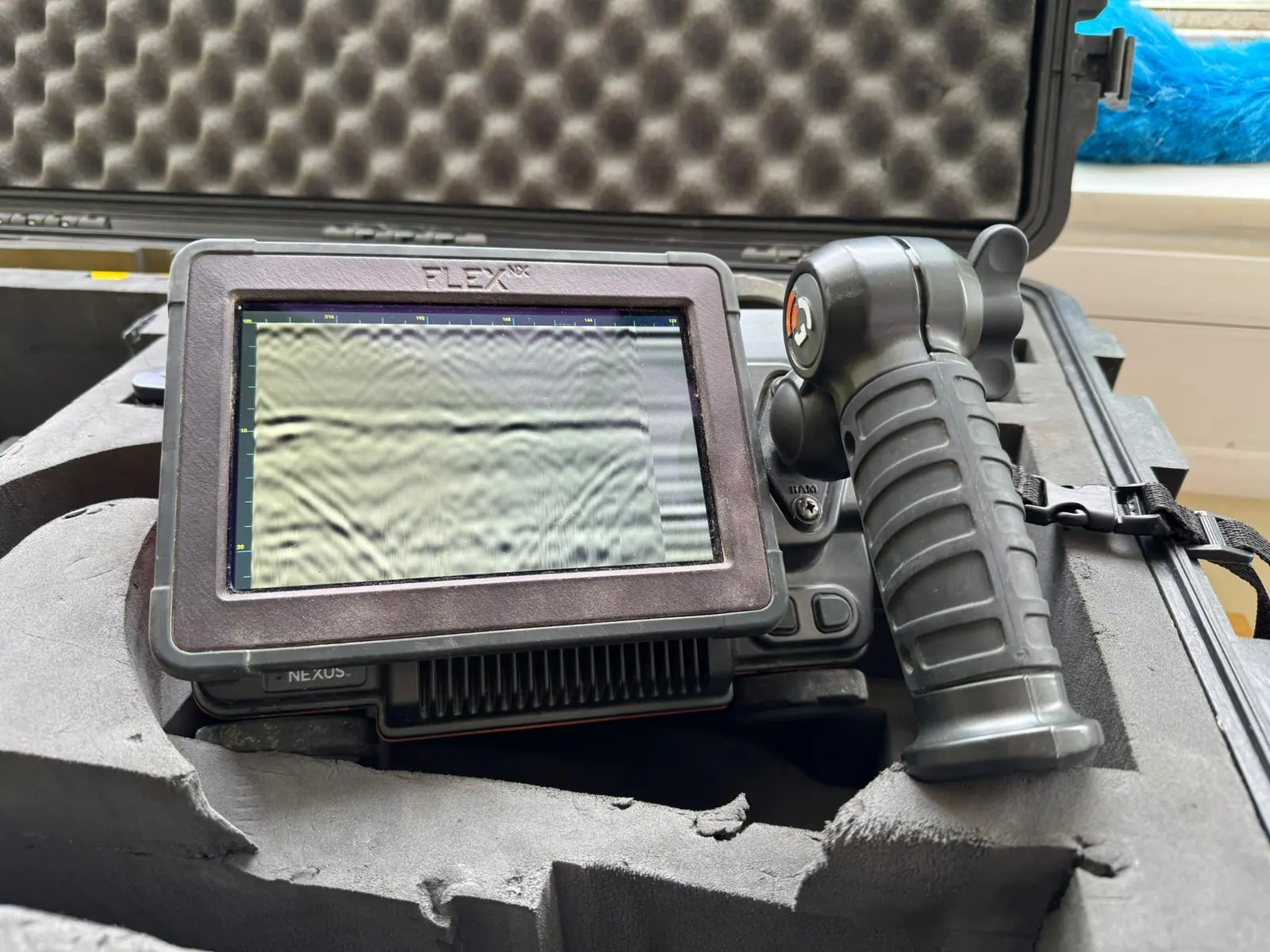
Ground penetrating radar
Radar is the first tool out of the van on most concrete work: reinforcement, post-tensioned tendons, conduits, voids, slab thickness. Three makes are carried so the antenna can be matched to the element.
- GSSI SIR 4000, StructureScan and FlexNX with the NXT antenna range. The main systems for slabs, walls and soffits, with antennas from high-frequency concrete work down to deeper structural scanning.
- Proceq GP8800 and GP8100. Stepped-frequency radar for close reinforcement and tight access, with the data worked up on a tablet at the element.
- Mala GPR. Deeper investigation of foundations, floors over fill, and ground beneath slabs; see pipeline and utility location.
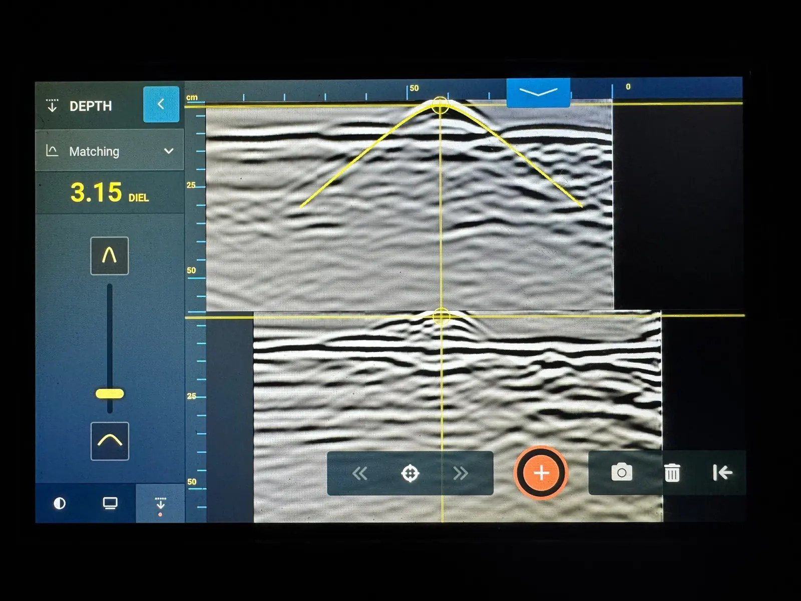
Reinforcement and cover
- Hilti PS Ferroscan. Electromagnetic induction for bar position, spacing and estimated cover in a single layer close to the surface, and the better estimate of bar diameter where conditions allow. See Ferroscan surveys and reinforcement mapping.
Ultrasonics and concrete condition
- Proceq Pundit 8050 and PL-200. Pulse velocity to BS EN 12504-4 and pulse echo for thickness, voids and honeycombing from one face. See ultrasonic testing of concrete.
- Rebound hammer and pull-off rigs. Surface hardness and bond strength as part of a compressive strength assessment, never on their own.
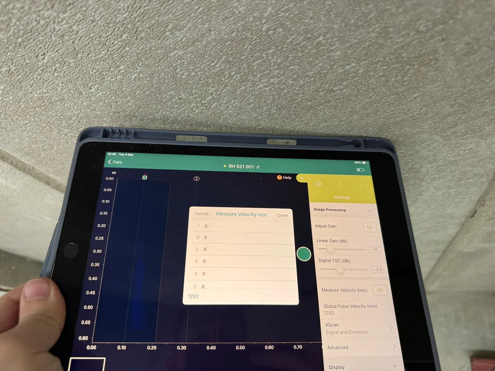
Steel thickness and corrosion
- Olympus 38DL Plus. Ultrasonic thickness gauging of piles, tanks, jetty steel and gantries, including through coatings, for thickness testing and corrosion mapping.
Aerial
- DJI Matrice 400 with Zenmuse P2, T2 and LiDAR. Photogrammetry, thermal and LiDAR of roofs, facades, bridges and estates for drone surveying and thermal imaging.
- Flyability Elios 3. A caged aircraft for the inside of tanks, culverts, ducts and voids where a person should not go.
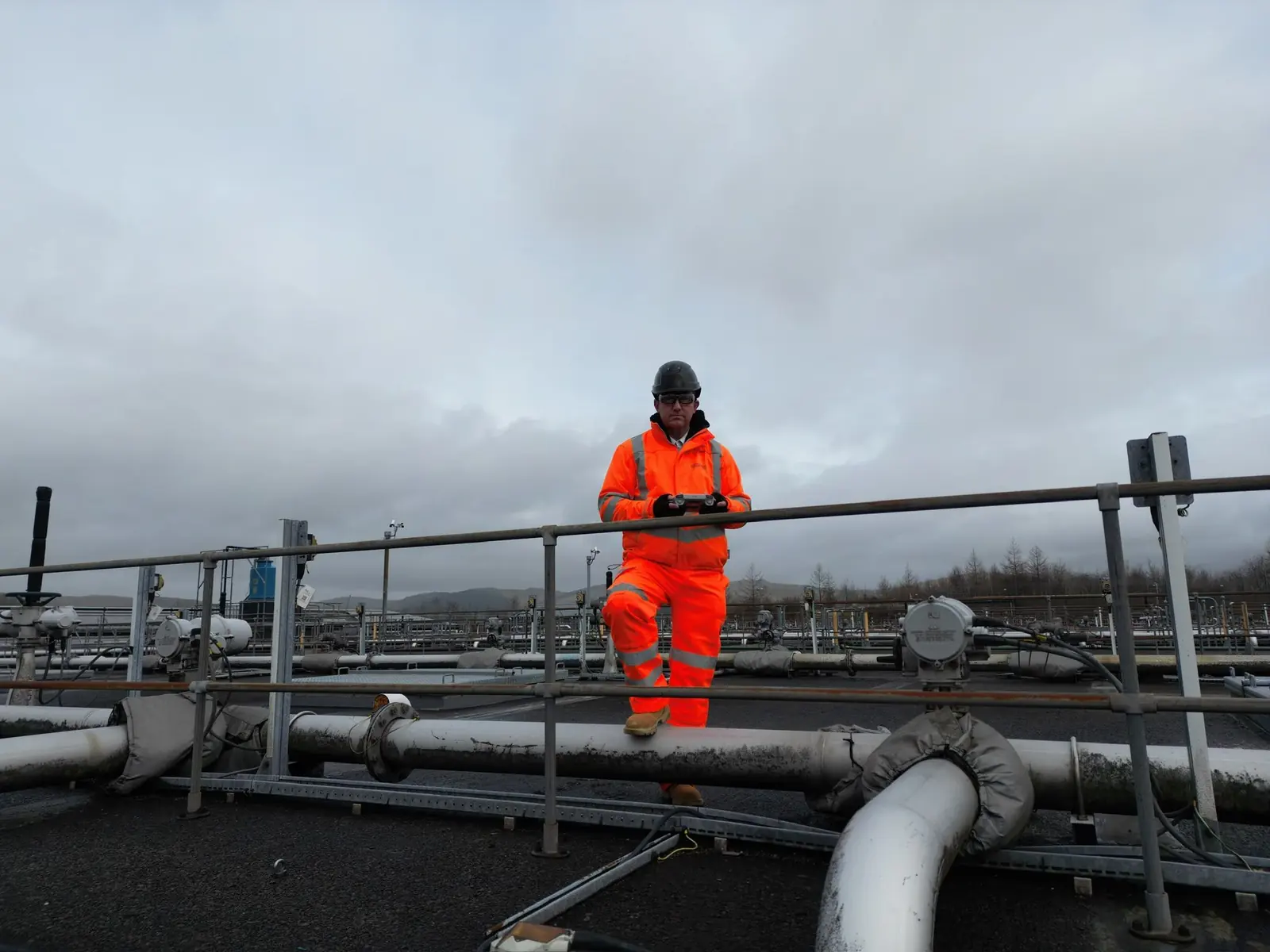
LiDAR and 3D capture
- Faro Orbis with SLAM. Walk-through laser scanning that turns a building or a plant into a measurable point cloud for digital twin and 3D modelling and for placing scan findings on a drawing.
Underwater
- Inspection-class ROVs with sonar and 4K video. Piles, quay walls, culverts, reservoirs and intakes from the bank or a boat, as described under underwater surveying and inspection. Diver work, where a job needs it, is arranged through commercial diving partners.
Handheld, vehicle-mounted and moisture
- Handheld inspection for the tight spaces and the toughest access.
- Vehicle-mounted scanning for long runs of pavement, track bed and tunnel lining.
- Leak detection and moisture surveys with Protimeter and thermal instruments.
- Structural and weld inspection, where visual and ultrasonic work is in-house and other methods are arranged through specialist partners.
- Concrete and construction: the full concrete toolkit on one page.
Calibration and reporting
Instruments are calibrated by UKAS-accredited laboratories where the work requires it. Every report names the equipment and settings used and the standard applied, so a second engineer can see how each reading was obtained. What a method cannot resolve is stated alongside what it can; see scanning before drilling for how that works on a typical slab.
Why carry three makes of ground penetrating radar?
Because no single antenna suits every element. A high-frequency antenna resolves close reinforcement in a thin slab; a lower frequency reaches deeper into a thick wall or a foundation. Carrying GSSI, Proceq and Mala systems lets the specialist choose the antenna for the element rather than make one unit do everything.
Is the equipment calibrated?
Instruments are calibrated by UKAS-accredited laboratories where the work requires it, and every report states the equipment used and the standard applied.
Questions we are asked
Does NDTScan hire out or sell NDT equipment?
No. NDTScan is a survey company. The equipment on this page is what our own specialists use on site, and the page exists so an engineer can see which instrument answers which question before a survey is booked.